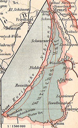
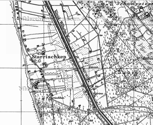
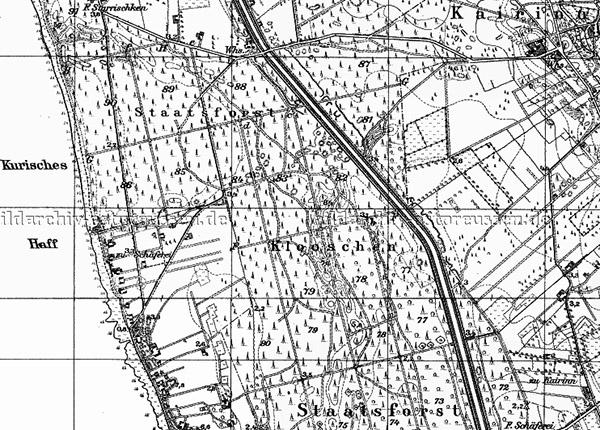
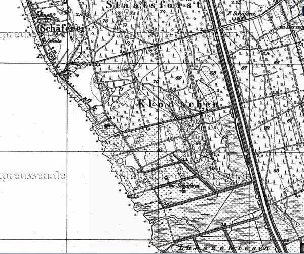
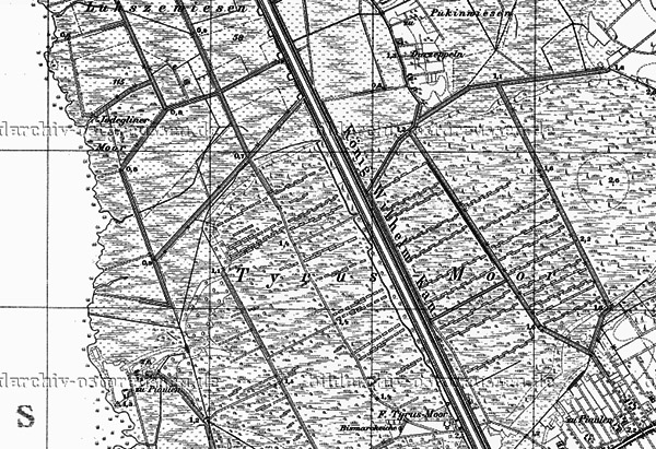
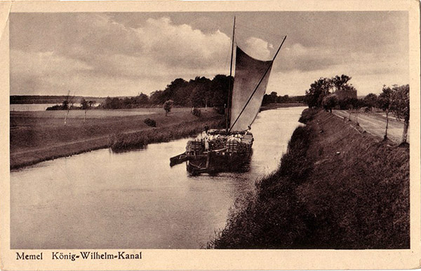
Königsberger King William Canal
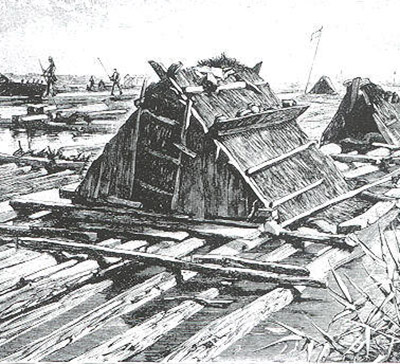
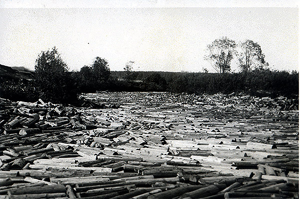
The King William Canal (König–Wilhelm–Kanal), or Klaipėda Canal, was conceived as a safe route from the outlet of the Curonian Lagoon into the Baltic Sea to one of the branches of the Memel (now Neman) delta, the Atmata (now the Atmata River/Atmata in Klaipėda County, Lithuania). Frequent storms in the lagoon hampered the development of cargo shipping, which supplied timber to the large sawmills and cellulose factories located in Memelland, which in the last third of the 19th century were experiencing an era of rapid development associated with the use of steam engines. Thus, the October storms of 1862 in the Curonian Lagoon caused damage to timber rafters in the amount of 70,000 thalers.
Plans to build a canal in these areas that would be safe for transporting timber existed as early as the 18th century (by the way, the Masurian Canal project was being developed around the same time ), but due to a lack of funds, they were not implemented.
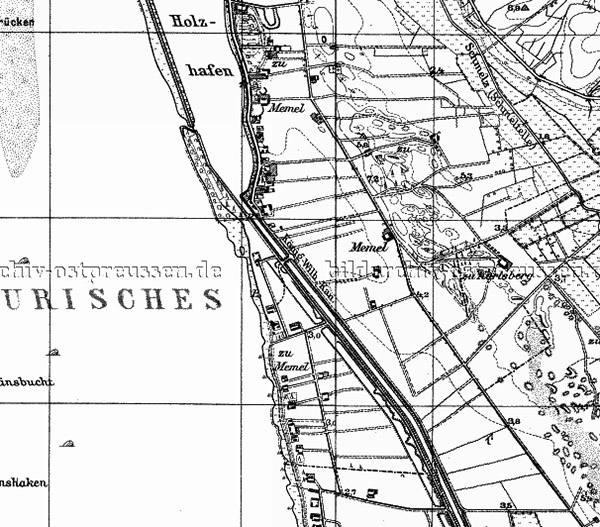
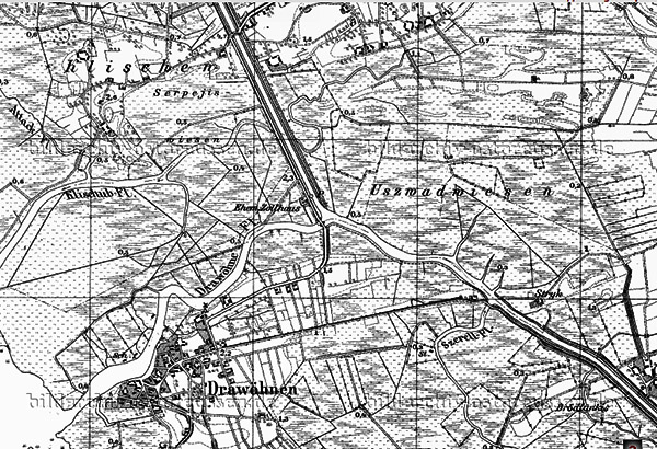
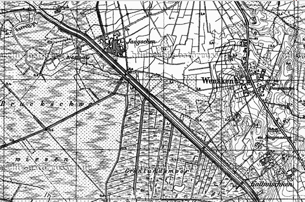
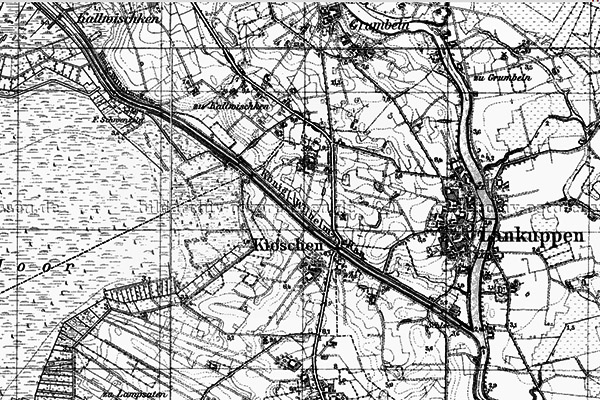
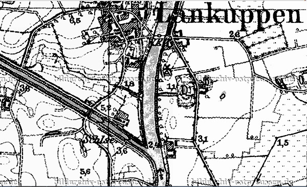
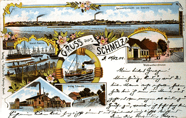
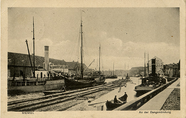
In the late 1850s, talk of building a canal began again. Initially, it was planned to build it from the town of Lankuppen (now Lankupiai) to Drawöhnen (now Dreverna), but later it was decided to extend the canal directly to the southern suburb of Memel (now Klaipeda), called Schmelz, where the Wooden Harbour (Holzhaven) and a large sawmill were located.
In two years, from 1863 to 1865, the section of the canal from the Minge River to Dravenen was built. The canal was fully completed by 1873, when, after the end of the Franco-Prussian War, captured French soldiers were employed in its construction.
The canal was named after King William, who later became Emperor William I.
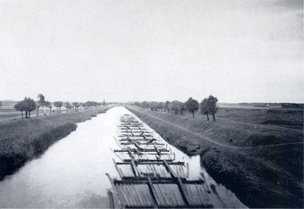
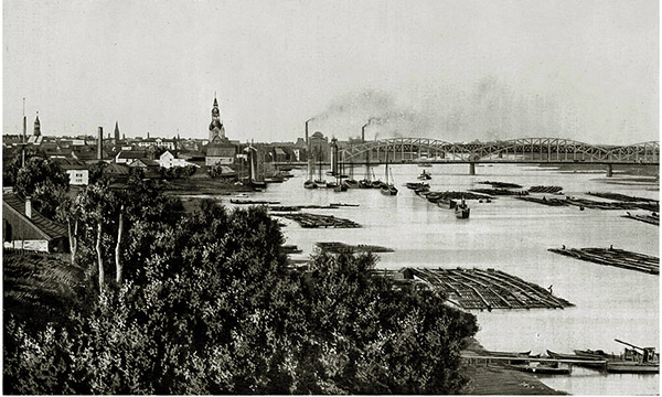
With the opening of navigation on the King William Canal in 1873, the Curonian Lagoon continued to be used mainly by passenger ships, transporting residents and tourists along the Curonian Spit. The main flow of freight traffic between Shmelz and the Memel Delta, along which timber was floated from the upper reaches of the river for processing, switched to the King William Canal.
Over 10 years, about 1 million thalers were invested in the construction of the canal.
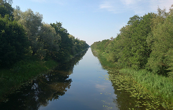
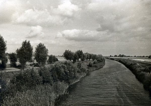
The length of the canal was approximately 3 Prussian miles, the width was 60 feet and the depth was about 5 feet (at present the length of the canal is about 25 km, the width is approximately 25-28 m, and the depth is from 1.7 to 2 m along the fairway).
At Lankuppen a sluice was built to equalise the water level in the canal and protect it from flooding.
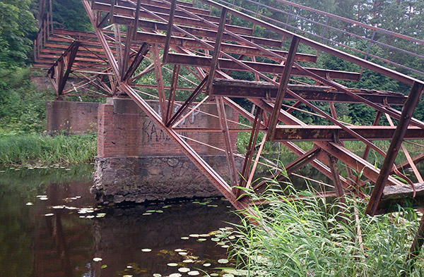
In 1902, the canal was deepened and several metal bridges were built across it.
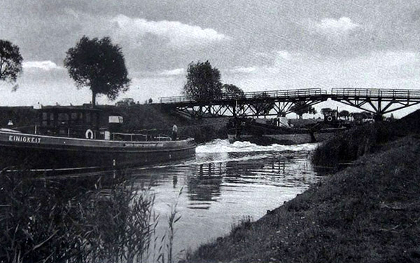
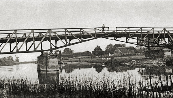
Currently, the King William Canal is not used for its intended purpose. Several bridges across the canal are destroyed. Along the northern part of the canal, located in a forest area, there is a dirt road . Klaipėda residents actively use the banks of the canal for picnics.

Sources:
Wikipedia
Bildarchive
wiki-de.genealogy.net